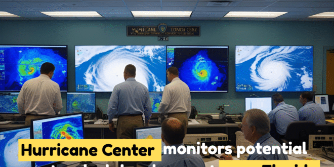
Hurricane Center Eyes Tropical Development Near Florida: The National Hurricane Center (NHC) is closely monitoring a broad area of low pressure near the southeastern U.S. coast, just off northern Florida.
This system is associated with disorganized showers and thunderstorms and is slowly moving westward. Forecasts suggest that it may cross the Florida Peninsula in the coming days and eventually enter the northeastern Gulf of Mexico.
While the system is currently not well-developed, it has caught the attention of meteorologists due to its potential to strengthen slightly as it moves across warm waters and interacts with atmospheric conditions over Florida.
Up to 20% Chance of Tropical Development
As of the latest update, the NHC has assigned a 0% chance of tropical development over the next 48 hours and a 20% chance over the next 7 days.
Some meteorologists speculate that this probability could rise slightly to 30% depending on how the system evolves once it enters the Gulf.
At the moment, conditions in the atmosphere and ocean are only marginally favorable for development.
This means that while a strong tropical storm is unlikely, a weak tropical depression or minimal tropical storm cannot be entirely ruled out later this week.
Rain and Flooding Risks for Florida
Regardless of whether the system becomes a tropical cyclone, it is expected to bring heavy rainfall and thunderstorms to Florida starting Monday through Wednesday.
Central and South Florida, in particular, could see 2 to 5 inches of rain, with some isolated areas receiving even higher amounts.
The main threat from this system will be localized flash flooding, especially in low-lying or poorly drained areas.
Residents are advised to stay cautious, especially during the evening commute hours when roads may be slick and visibility reduced due to storms.
What Happens Next?
Forecast models currently show the system moving westward into the Gulf of Mexico by midweek.
While some models suggest the system may organize slightly over the warm Gulf waters, there is significant uncertainty about its exact path and strength.
If the system develops into a named tropical storm, it will be called “Dexter.” However, most meteorologists agree that the system is more likely to remain weak, even if it becomes better organized.
Despite this, it still poses a non-negligible risk due to the high moisture content and the likelihood of sustained periods of rain over several days.
Conclusion
Although the potential for this system to become a full tropical storm is currently low, the impacts from heavy rain and flash flooding are very real for Florida and surrounding regions. The National Hurricane Center and local meteorologists continue to monitor the situation closely.
Residents should remain informed by following local forecasts, especially those living in flood-prone or coastal areas. While this system may not bring damaging winds, its ability to dump inches of rain in a short time makes it a system worth watching over the coming days.